

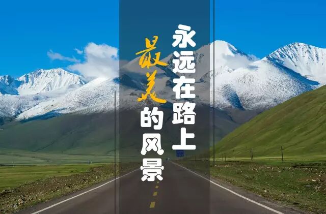
I camped at the foot of Muztagh Ata and watched the first light turn the snow face pink while the lake below stayed black, and I understood why locals call it the Father of Ice Mountains.
Muztagh Ata is the seven thousand five hundred metre peak that dominates the western Pamir near Tashkurgan, a snow cone so regular it looks drawn, and a sacred mountain to the Kyrgyz who live in its shadow. The Muztagh Ata peak is the backdrop to Karakul Lake and the goal of trekkers who come to walk its lower slopes, and it is visible right from the G314. This guide covers what the mountain is, how to reach the viewpoint, the trek and the base camp, the season, and how to pair the peak with the Pamir drive.
What Muztagh Ata is
Muztagh Ata rises to about seven thousand five hundred metres at the western edge of the Pamir, a near perfect snow cone that local Kyrgyz call the Father of Ice Mountains because it feeds the glaciers and the lakes below. The peak sits near Tashkurgan and looks down on Karakul Lake, so the reflection of the snow in the water is the classic postcard of the region. It is not the highest mountain in Xinjiang, but it is the most photogenic because of its shape and its lone stance on the plateau. The mountain is a pilgrimage site as much as a climb, and the herders around it treat the ice with respect. I rate Muztagh Ata as the soul of the Pamir, because every other view on the plateau points back to it. The cone is the landmark that organizes the whole high country.
- About 7500 m at the western Pamir
- Snow cone above Karakul Lake
- Called the Father of Ice Mountains
Reaching the viewpoint from Kashgar
The Kashgar to Pamir road, the G314, runs beneath Muztagh Ata, so the peak is visible for a long stretch once you clear the checkpoint and climb toward the lake. The classic viewpoint is the shore of Karakul Lake about one hundred ninety kilometres from Kashgar, where the mountain fills the northern horizon and the reflection doubles it. You do not need to climb to see it; pull off at the lake or any of the marked overlooks and the cone is there. I time the drive so I reach the lake at dawn, because the first light on the snow is the moment the peak earns its name. The road is the viewing platform, and the mountain is the reward for the climb from the basin. No track needed, just a stop and a look up.
- G314 runs beneath the peak
- Classic view from Karakul Lake shore
- Dawn light on the snow is the moment
Trekking and the base camp
Trekkers use the Karakul lakeside as the base and walk the lower slopes toward the glaciers, a multi day walk that gains altitude slowly and rewards with close ice and a camp under the cone. The Muztagh Ata peak is a serious climb that needs permit, gear, and a guide, so most visitors stay on the trek to the moraine rather than the summit, which is the right call at this height. Acclimatise in Tashkurgan town first, because the base sits near three thousand six hundred metres and the walk adds more. I keep the trek to a day walk to the glacier view and save the summit for the pros, because the plateau punishes the unprepared. The base camp is the gentle way to meet the mountain, and the ice is close enough to feel.
- Karakul lakeside as the trek base
- Summit needs permit, gear, guide
- Day walk to the glacier for most visitors
Season and the permit
The warm window is June through September, when the snow line lifts and the lake road is clear, and the mountain shows its cone without the winter veil. The border permit for Tashkurgan county is issued in Kashgar before you travel, and you need it to pass the checkpoint south of the city, so sort the paper and carry your passport to every stop. Winter closes the higher Pamir and buries the access, so the short summer is the time for the view and the trek. I check the permit and the weather before I leave Kashgar, because both decide whether the peak is open. The season is brief and the mountain is worth the planning. A clear morning in July is the prize.
- Best June to September
- Border permit from Kashgar before south
- Winter closes the higher Pamir
Pairing the peak with the Pamir drive
Muztagh Ata is the centerpiece of the Pamir drive, so pair it with Tashkurgan town as the base, Karakul Lake as the viewpoint, and the Karakoram road as the continuation south. The peak is visible from the G314 for much of the run, so it frames the whole journey rather than being a single stop. Kashgar is the natural start, where you sort the permit and fuel before the climb, and the town is the rest point after the lake. I build the day around the dawn at the lake, because the light on the Father of Ice Mountains is the memory most travelers keep. The peak is the thread of the high country, and the road is how you follow it.
- Base in Tashkurgan, view from Karakul
- Visible along much of the G314
- Kashgar start for permit and fuel
| Feature | Detail | Note |
|---|---|---|
| Height | ~7500 m | Western Pamir |
| Viewpoint | Karakul Lake shore | ~190 km from Kashgar |
| Season | June to September | Winter buries access |
| Trek | Glacier day walk | Summit needs permit |
Practical takeaways
- Reach Karakul at dawn for light on the snow
- Acclimatise in Tashkurgan before the trek
- Sort the border permit in Kashgar first
- Pair the peak with Karakul and the Karakoram
Frequently Asked Questions
- What is Muztagh Ata
- Muztagh Ata is a roughly seven thousand five hundred metre peak at the western Pamir near Tashkurgan, a regular snow cone above Karakul Lake that the Kyrgyz call the Father of Ice Mountains.
- Where is the best view
- The classic view is the shore of Karakul Lake about one hundred ninety kilometres from Kashgar on the G314, where the peak fills the northern horizon and reflects in the water.
- Can I climb it
- The summit needs a permit, gear, and a guide, so most visitors do a day trek to the glacier from the lakeside base rather than attempt the climb.
- When is the best time
- June through September is best, when the snow line lifts and the lake road is clear; winter closes the higher Pamir and buries the access.