

Aydingkol Lake sits in the Turpan basin at about 150 m below sea level, one of the lowest places on Earth.
It is a stark salt flat at the bottom of the basin, a geological extreme paired with the nearby heat and ruins. If you are shaping the bigger trip, our Flaming Mountains guide covers the wider picture.
What makes it special
 }
}
The below-sea-level sign is a fun photo.
The salt flat is vast and empty.
It is an easy add-on to a Turpan loop.
How to get there
About 50 km from Turpan by paved road into the basin.
Download offline maps before you leave the city. Mobile signal disappears for long stretches on the Duku, the Pamir, and the desert highways.
Best time to visit
April to May and September to October avoid the extreme summer heat. For the detail you will actually need on the ground, see our best time for a Xinjiang road trip.
Tickets and logistics
- Carry water; it is one of the hottest, driest spots.
- Go early or late to avoid heat.
- Combine with the Flaming Mountains.
- Shade is minimal.
Photo tips
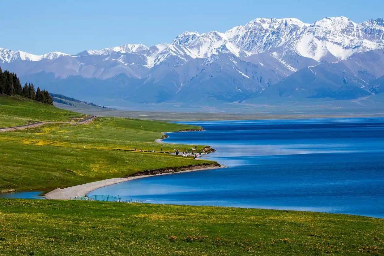
The open salt flat suits a wide lens; golden hour is kindest. Protect gear from dust.
FAQ
How low is Aydingkol? About 150 m below sea level, among the lowest places on Earth.
How do I get there? About 50 km from Turpan by car.
Best season? Spring and autumn for the cooler basin.
Do I need a permit? No for this site.
Final word
Xinjiang rewards drivers who plan, then stay flexible. Build a loose route, book the key overnight towns, and leave room for the unplanned stop that turns out to be the best part of the trip.
Written by Karl Huang, a Xinjiang-based travel writer. Basin heat can be dangerous mid-summer, so time the visit carefully and confirm hours locally.