

I used to think the ‘real’ Xinjiang was off the highways, then I drove the G30 end to end in segments and realised the expressway itself is the spine that makes every side trip possible without burning a week in the car.
The G30, fully named the Lianyungang to Khorgas Expressway, is the main east-west highway across China and the backbone of any Xinjiang self-drive. Inside the region it links Urumqi with Turpan and Kumul to the east, and with Shihezi, Kuitun, Bortala and the Khorgas border to the west, a Xinjiang stretch of well over 1,000 kilometres. It is fast, mostly limited to 100 to 120 km/h, and dotted with service areas where you refuel, eat and rest. Understanding the G30 saves you time and stress: it lets you cover the long basin crossings efficiently, then drop onto smaller roads like the Duku or the G3012 toward Kashgar when you want scenery. This guide covers tolls, fuel, rest areas and the practical rhythm of long expressway days.
The shape of the G30 in Xinjiang
East of Urumqi the G30 runs through the Turpan corridor, past Dabancheng and down into the hot basin, then on toward Kumul and the long haul toward Gansu. West of Urumqi it passes Shihezi and Kuitun, skirts the northern edge of the Tianshan, reaches the Bortala area and ends at Khorgas, the major border crossing with Kazakhstan. A separate spur, the G3012, branches south from the Turpan area toward Korla and Kashgar, which is how most southern-loop drivers connect. The geography matters because the G30 is flat and fast while the branch roads climb into mountains or cross deserts, so plan your fuel and rest around the expressway rather than the scenic detours.
- East: Urumqi, Turpan, Kumul toward Gansu
- West: Shihezi, Kuitun, Bortala, Khorgas
- G3012 spur runs south toward Korla and Kashgar
Tolls, fuel and service areas
The G30 is a toll road, and costs add up on multi-hundred-kilometre days, so budget for it the way you would for any long motorway trip. Most cars pay by license plate or an ETC tag; foreign renters usually settle by plate billing or at the booth, so keep cash or a card handy and ask your rental company how tolls are handled. Fuel is reliable at the service areas, but the gaps between them lengthen on the desert stretches east of Kumul, so never let the tank drop below half in the open country. Service areas give you toilets, snacks, fuel and sometimes a basic hotel; treat them as planned breaks every two to three hours rather than emergencies, because the next one can be far in the heat.
- Tolls add up; ask the rental how they are settled
- Keep fuel above half on desert eastern stretches
- Use service areas as planned two to three hour breaks
Speed, weather and road safety
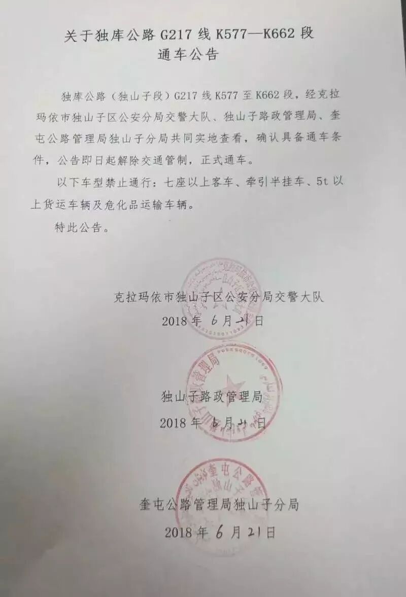
The G30 is built for speed but Xinjiang’s scale means monotony and crosswind, especially on the open basin and desert sections where a sudden gust can push a high-profile van. Respect the posted limits, which drop in construction and weather, and fight fatigue with regular stops because the straightness lulls you into driving too long. In winter, ice and blown snow can close sections, and in summer the desert heat stresses tyres, so check road conditions before a big leg. The expressway is the safe default when mountain passes like the Duku are closed, which is exactly why knowing it well keeps your trip moving through the shoulder seasons.
- Mind the limit; it drops in works and weather
- Crosswind on open basins pushes high vehicles
- Use it as the all-weather alternative to closed passes
Building a G30-based plan
A smart northern Xinjiang route uses the G30 as the connector and the scenic roads as the rewards. For example, run Urumqi to Turpan on the G30, loop the Turpan sights, then return north and use the expressway to Kuitun or Shihezi as a base for the Ili and Sayram region. Going west, the G30 carries you almost to the Khorgas border if a Kazakhstan crossing is on your list. The rhythm that works is simple: two to three hour expressway pushes separated by real breaks, with the famous roads saved for daylight and good weather. Pair the G30 with a solid car rental and a weather check each morning, and the region becomes manageable rather than intimidating.
- Use G30 as connector, scenic roads as reward
- Two to three hour pushes with real breaks
- Save mountain roads for daylight and good weather
| Topic | What to know |
|---|---|
| East end | Urumqi, Turpan, Kumul toward Gansu |
| West end | Shihezi, Kuitun, Bortala, Khorgas border |
| Speed | Mostly 100 to 120 km/h, lower in works |
| Fuel | Reliable at service areas; half-tank rule in desert |
| Role | Fast connector; all-weather when passes close |
Practical takeaways
- Keep fuel above half on the long desert eastern stretches.
- Budget tolls; ask the rental how they are settled.
- Stop every two to three hours, the straight road hides fatigue.
- Use the G30 when the Duku and other passes are closed.
Frequently Asked Questions
- How long is the G30 inside Xinjiang?
- Well over 1,000 kilometres from the eastern desert approaches near Kumul to the Khorgas border in the west, not counting the southern G3012 spur.
- How are tolls paid by foreign renters?
- Usually by license-plate billing or at the booth; confirm the method with your rental company and keep cash or a card ready.
- Is the G30 safe in winter?
- It is the safer all-weather option compared with mountain passes, but ice and blown snow can still close sections, so check conditions daily.
- Where does the G30 connect to the southern loop?
- The G3012 spur branches south from the Turpan area toward Korla and Kashgar, which is the main southern-route link.