Hami: The Eastern Gateway to Xinjiang
Hami — the first stop from inland China, famous for its sweet melons, the G30 corridor, and the transition from Gobi to oasis. What to see, eat, and why it matters on a road trip.

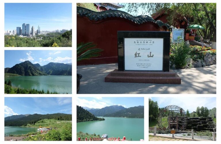
Hami — the first stop from inland China, famous for its sweet melons, the G30 corridor, and the transition from Gobi to oasis. What to see, eat, and why it matters on a road trip.
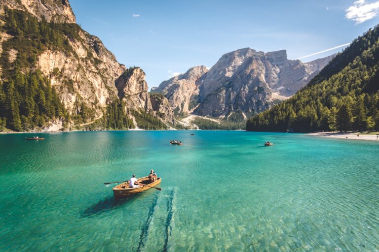
Bosten Lake — Xinjiang’s biggest inland lake, a reed-sea wetland near Korla with lotus, birds, and a quieter alternative to the famous alpine lakes. How to visit.
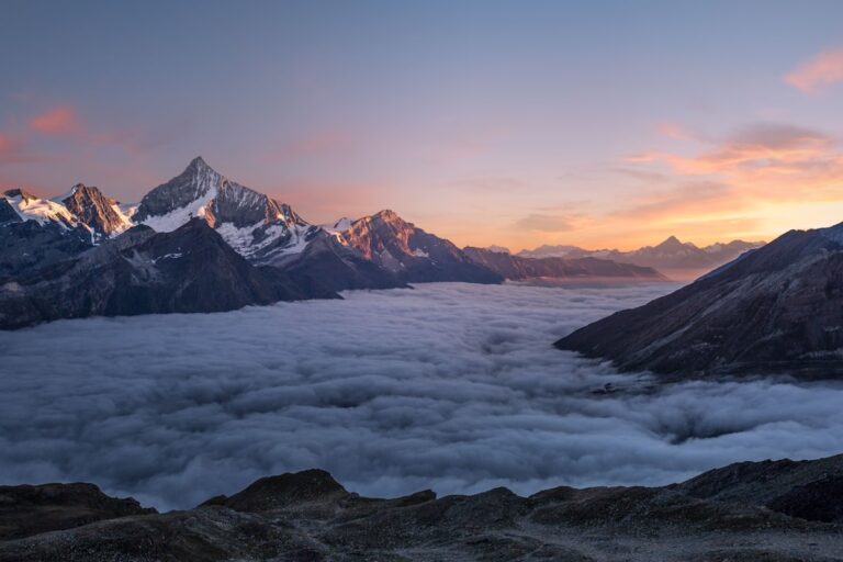
Bayinbuluke — the high wetland of the Tianshan with swans, the nine-twist Kaidu River, and alpine meadows. How to visit, when the swans are there, and the Duku connection.

Baisha Lake on the Kashgar–Pamir road — white sand shores, still blue water, and Muztagh Ata views. How to get there, when to photograph it, and what makes it special.
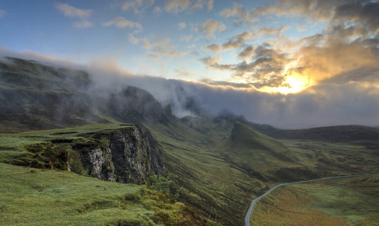
Drive the Yili Valley grassland loop — Nalati, Bayanbulak, lavender fields, and the Yizhao Highway. Distances, best stops, and the lushest drive in Xinjiang.
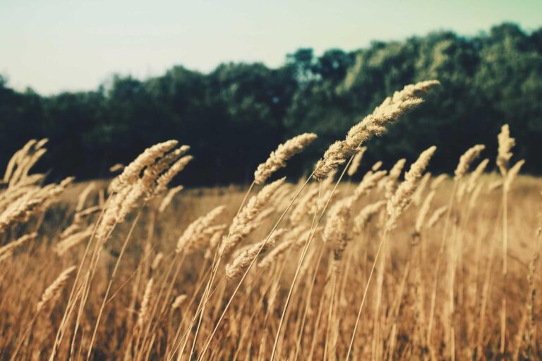
Drive Xinjiang in winter: which highways stay open, when you need snow chains, how to handle passes and ice, and the routes that make a magical cold-season trip.
Xinjiang expressway tolls, speed limits, camera enforcement, and the traffic rules self-drivers must know. Avoid fines and drive the corridors with confidence.
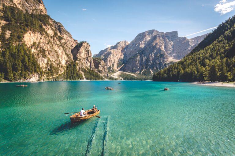
The three highways that define a Xinjiang drive — G217 (Duku + Taklamakan), G218 (Ili loop), and G314 (the Karakoram). Routes, seasons, and what each delivers.

The complete Xinjiang road trip packing list: documents, clothing for 20°C swings, offline maps, camping kit, and the small items that save the trip. Print-and-go.
How to fuel up on a Xinjiang self-drive: station frequency, PetroChina vs Sinopec, paying with Alipay/WeChat/cash as a foreigner, and desert-range planning.