Xinjiang Toll Road Guide
Tolls, expressways and payment on a Xinjiang self-drive: the G30 and major roads, what you pay, and tips for international drivers.


Tolls, expressways and payment on a Xinjiang self-drive: the G30 and major roads, what you pay, and tips for international drivers.

Driving Xinjiang with children: easy loops, where to stop, altitude, food, and what to pack for international families.
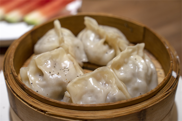
What to eat on a Xinjiang self-drive: dapanji, laghman, samsa, naan, mutton, and where to stop. A driver-friendly food guide with real tips.

What a Xinjiang self-drive costs: car rental, fuel, parks, hotels, food and permits, with a realistic daily budget for international drivers.

Staying found on a Xinjiang self-drive: which offline maps to download, signal gaps, the Duku and Pamir, and backup navigation for international drivers.

Keeping a Xinjiang self-drive fuelled: station gaps, cash versus cards, what to stock, water, and the desert-highway rules international drivers need.
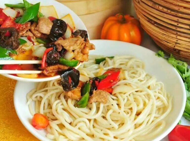
A Xinjiang food guide for self-drive travellers: the dishes to try, where to eat on the road, halal norms and practical tips.
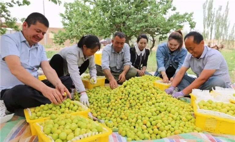
Licence rules for driving in Xinjiang as a foreigner: international permit, home licence, rental needs, and what to carry on a self-drive trip.
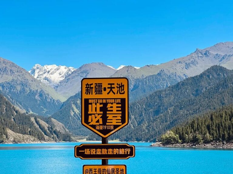
How to get a Xinjiang border defence permit (边防证): who needs it, where to apply in Kashgar or Urumqi, documents, and timing for international drivers.

Driving Xinjiang in winter: which roads stay open, snow tyres, heating, the ice festivals, and the routes that still work. For prepared international drivers.