

Some places feel like the end of the map. Tashkurgan — a small Tajik town at China’s western extreme, ringed by the Pamir — is one of them. The drive from Kashgar climbs into a high, spare world of blue mountains and mirror lakes, where the Karakoram meets the Hindu Kush and the air is too thin for trees. Karakul Lake, with Muztagh Ata rising behind it, is the postcard; Tashkurgan is the quietly extraordinary town that makes it home. This is the Pamir briefing.
The drive: Kashgar → Tashkurgan
- ~190 km, 4–5 hours on the G314 (Karakoram Highway), with the altitude climbing the whole way.
- Requires a Border Defense Permit — arrange in Kashgar (or Urumqi) a day or two ahead (our checkpoint guide explains it).
- Highlights en route: the Baisha Lake (White Sand Lake) and the first sight of Muztagh Ata.
Karakul Lake: the mirror
At about 3,600 m, Karakul (“black lake”) sits beneath Muztagh Ata (7,509 m) and the sister peak Kongur. On a still morning the lake mirrors the snow so perfectly you lose the horizon. A few things to know:
- Stay in a yurt or the lakeside guesthouse if you can — sunrise and sunset here are the whole point.
- Walk the shore; the reflections shift with the light.
- Altitude: take it easy; don’t exert at the top.
- Our Muztagh Ata guide has the peak detail.
Tashkurgan: the town at the edge
Tashkurgan (Taxkorgan) is home mostly to Tajiks — Persian-speaking, warm, and distinct from the Uyghur south. It’s a frontier town with a stone fort (the “Stone City,” with 2,000-year-old walls), a calm bazaar, and views that go on forever. Spend a night; the clear high air makes the stars ridiculous.
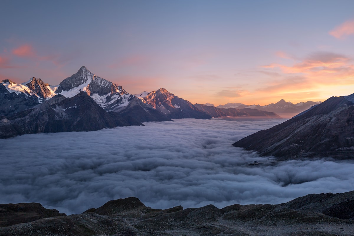
The Karakoram Highway
The G314 here is the KKH, one of the great high roads on Earth, continuing to the Khunjerab Pass and Pakistan. Even if you turn back at Tashkurgan, driving it is the experience: switchbacks, exposure, and a sense of being very far from anywhere.
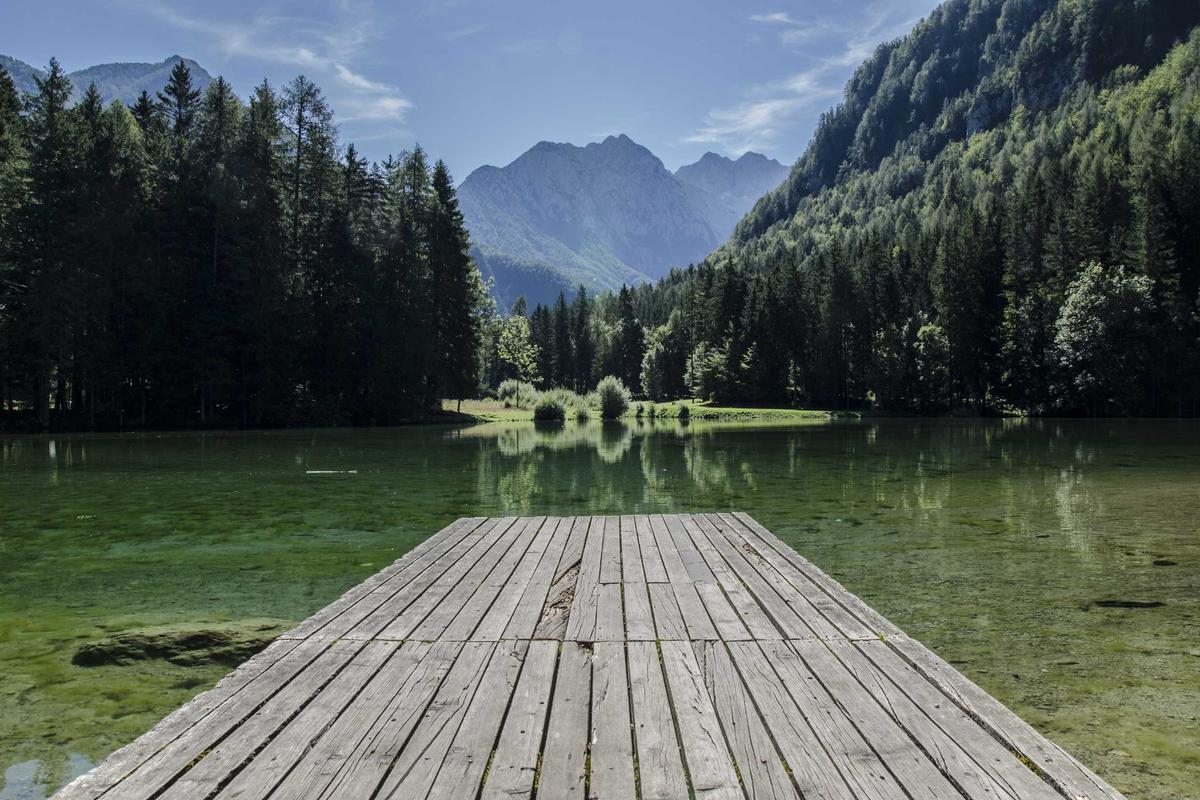
When to go
- Roughly May/June–October is the window; the pass and high sections close in deep winter.
- Summer is green and open; autumn (September) is crisp and the clearest for peaks.
- The best-time guide and summer road alerts track the openings.
Practical notes
- Altitude: Tashkurgan ~3,100 m, Karakul ~3,600 m. Ascend gradually from Kashgar (~1,300 m); hydrate; descend if unwell.
- Fuel: full tank in Kashgar; Tashkurgan has fuel but not the pass.
- Cash: small towns are cash-preferred.
- Respect: it’s a sensitive border region — carry ID, follow checkpoint instructions, photograph bases/checkpoints never.
Photography
- Karakul at sunrise — the mirror shot.
- Muztagh Ata from the lakeshore — the icon.
- Baisha Lake on the way up — white shore, blue water, blue mountain.
- Tashkurgan Stone City at golden hour.
FAQ
Do I need a permit? Yes — the Border Defense Permit, from Kashgar or Urumqi.
Can I cross to Pakistan? Only with the right visa and usually an operator; see the Khunjerab guide.
Is altitude dangerous? It can be — ascend slowly and descend if sick.
How long? One night at Karakul/Tashkurgan minimum; two is better.
Final word
Tashkurgan and Karakul are where Xinjiang stops being a province and becomes a frontier of the earth — high, quiet, and ancient. Drive up, watch the lake mirror the mountain, and feel the edge of the map.
Written by Karl Huang, a Xinjiang-based travel writer. Permit and road-opening rules shift with the season — confirm with local authorities before you go.