

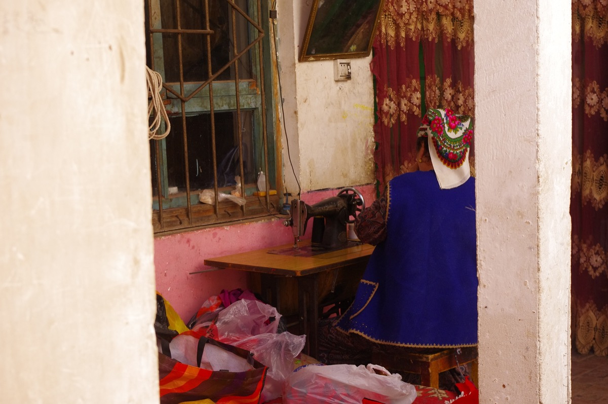
They call the Taklamakan the sea of death, and driving its rim with the dashboard reading forty degrees and not another car for an hour taught me more about distance than any map ever could.
The Taklamakan is the second-largest shifting-sand desert on earth, and circling its rim by car is one of the most remote self-drives in Xinjiang. The loop runs the southern route through oasis towns, the desert highways that stitch across it, and the Silk Road ruins that dot the edge, a journey of space, heat, and silence. This guide lays out a Taklamakan desert loop for drivers who want the empty quarter, with the fuel discipline, the oasis planning, and the respect the sand demands.
The loop and its logic
The classic desert loop follows the rim: from Korla or Aksu south to the oasis towns, across one of the straight desert highways that spear the sand, and around the southern edge through Hotan and back north. The shape is a long oval hugged to the mountains on one side and the sand on the other. I run it clockwise or counter depending on fuel and season, but the logic is constant: never let the tank drop low, because the next station can be hundreds of kilometres of nothing. The desert rewards planners and punishes dreamers, and the loop is the planner route.
- A long oval on the rim
- Cross one desert highway
- Never let the tank drop
Fuel is the master
In the Taklamakan, fuel is not a convenience, it is the trip. I fill at every town with a station and carry a jerry can where legal, because the desert highways between oases are measured in hundreds of empty kilometres. I log the distance to the next fuel on paper, not memory, and I turn back if the math is close. Heat thins the margin: a hot engine and soft sand drink more than the gauge promises. The single rule that keeps a driver alive out here is a full tank and a plan for the next one, repeated without exception from first light to last.
- Fill every town
- Carry a can where legal
- Log distance to next fuel
Oasis towns as lifelines
The oases are the reason the loop is possible: Kashgar and Aksu to the north, Hotan and the southern string to the south, each a green pause in a brown world. I plan overnights on oases, never in the open sand, because the towns have water, food, a wall, and a signal. Each oasis is also a cultural stop, a market, a mosque, a garden, a completely different rhythm from the road. I treat the towns as the trip and the desert as the connective tissue, because the people and the shade are the reward, and the sand is the frame around them.
- Overnight on oases
- Water, food, wall, signal
- Towns are the trip
The desert highway experience
Driving the straight desert highway is surreal: a ruler line across nothing, mirages shimmering, and the temperature gauge doing the only talking. I keep speed steady, watch for sand on the lane after wind, and never stop in the open unless forced, because a breakdown out here is a serious event. The highway is bored in minutes and humbling in hours, a reminder of scale that no photo captures. I run it in daylight, with a full tank and a charged phone, and I celebrate the far oasis like a sailor sights land. The crossing is the test; the oasis is the prize.
- Steady speed, daylight only
- Watch blown sand
- Full tank, charged phone
Heat, sand, and the car
The desert is hard on a car: heat stresses cooling, sand invades filters, and corrugations loosen fittings. I check coolant and tire pressure each morning, since heat raises both, and I carry extra water for the radiator, not just me. Soft shoulders and drifting sand demand a gentle line and no heroics. I avoid the deep sand entirely unless in a proper 4×4 with recovery gear, and even then I think twice. The car is the only way out, so I baby it: shade when I can, slow when I must, and serviced before I ever reach the rim.
- Check coolant and tires daily
- Extra water for radiator
- Gentle line, no heroics
A loop that earns its name
My Taklamakan loop ended in an oasis shower with a cold drink and a quiet awe at how empty the middle of the world can be. The secret was fuel discipline and oasis planning, the two things that turn a death trap into a journey. I would not call it easy, but I would call it unforgettable, and the silence of the sand stays longer than the heat. The desert loop is for drivers who respect distance, and distance, out here, is the whole point. Plan hard, drive calm, arrive changed.
- Fuel discipline wins
- Oasis planning saves
- Silence stays with you
| Rule | Why | Cost if broken |
|---|---|---|
| Full tank always | Next fuel far | Stranded |
| Oasis overnights | Water and wall | Exposure |
| Daylight highways | No night rescue | Lost |
| Check car daily | Heat beats engines | Breakdown |
Practical takeaways
- Fill at every town.
- Overnight on oases.
- Cross highways by day.
- Check coolant daily.
Frequently Asked Questions
- Is the Taklamakan loop safe?
- For prepared drivers, yes; the dangers are fuel gaps, heat, and breakdowns, all planned against.
- Do I need a 4×4?
- For the highways and oases, a normal car works; only off-piste sand needs a 4×4.
- When to run it?
- Spring and autumn; summer heat is extreme and winter can close passes.
- How far between fuel?
- Hundreds of kilometres; fill every town and log the next station.