

Xinjiang’s transport map is being redrawn faster than any printed atlas can keep up. 2026 continues a multi-year push to knit the province together with expressways, extend the desert corridors, and add rail that reaches further into the south and west. For a self-drive traveler, that means shorter transit days, new routes, and a few “before it was paved” bragging rights disappearing. Here’s the lay of the 2026 map.
Expressway extensions
The G30/G3012 corridor — the Urumqi–Kashgar spine — has seen steady upgrades: smoother surfaces, more service areas, and smarter tolling. The practical effect for drivers: the long southern hauls (Aksu–Kashgar, Korla–Turpan) are faster and better serviced than ever. Our Urumqi–Kashgar drive reflects the current, faster times.
The desert corridors
The Taklamakan crossings — already among the most extraordinary drives on Earth — benefit from improved service stations and better signage, making the “sea of sand” crossing safer for the prepared. Expect continued work on access roads to the edge towns.
Rail reaching further
New and extended rail lines (including high-speed links toward the west and south) mean you can now fly in, train between hubs, and rent a car for the scenic bits — a hybrid that saves driving days without missing the icons. Urumqi remains the rail and air hub; Kashgar’s links keep improving.
What it means for your route
- Shorter transit days: the corridor upgrades trim the 700 km legs.
- More start points: better rail means you can begin a loop from Kashgar or Yining, not just Urumqi.
- New access roads: some remote sites get easier — watch for new paved approaches to grassland and lake areas.
- The scenic byways guide maps the classic routes these upgrades serve.
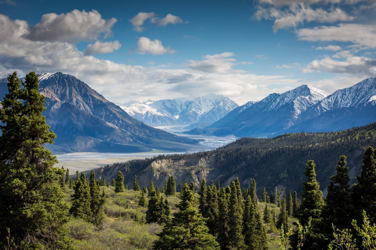 Panlong Ancient Road” />
Cautions for 2026 drivers
- Construction zones: upgrades mean occasional single-lane and detour sections — build buffer time.
- Verify before you go: a road “opening” in a press release may still have limited services; the summer road alerts track live status.
- Fuel planning still matters on the empty legs — our fuel guide hasn’t changed its core advice.
The bigger picture
Xinjiang’s bet is that connectivity is tourism. Every new mile of expressway makes the grand loop a little more achievable for a first-timer. By the time the current plans land, a 15-day grand loop will be measurably easier than it was even a few years ago.
FAQ
Do the new roads change my itinerary? They mainly shorten transit; the scenic icons are the same. Plan a little looser for construction.
Is the desert highway safer now? Better stations and signage help; the core rules (paved only, fuel often) stand.
Can I mix train and car? Yes — increasingly practical with the rail expansions.
Where do I check live status? Local bulletins and our road alerts page.
Final word
The 2026 transport build-out is good news for anyone with a map and a deadline. Roads get faster, rail reaches further, and the loop gets tighter — without losing the wild edges that make Xinjiang worth the drive.
Written by Karl Huang, a Xinjiang-based travel writer. Road and rail projects complete on local schedules — verify current openings with authorities before you travel.