

There is a moment, somewhere past Korla, when the green ribbon of the north finally lets go and the real Xinjiang begins — the one you came for. The road straightens, the mountains pull back, and the horizon opens into a tan-and-blue emptiness that feels older than memory. Driving from Urumqi to Kashgar is the closest thing China offers to a trans-continental overland epic: roughly 1,500 km of highway that threads oasis towns, a desert crossing, and finally the timbered lanes of the westernmost city in the country. This is the route the Silk Road actually ran. And it is gloriously driveable.
Why drive it instead of flying?
You can fly Urumqi to Kashgar in under two hours. Plenty of people do. But you land having seen nothing, and Kashgar deserves an arrival, not a touchdown. The drive is the point. In a single day you pass from Han Chinese city blocks into Uyghur market towns, from the last poplars of the north into the absolute silence of the desert. The bus connects the dots; the car lets you choose which dots matter. If you want the fuller picture, our Xinjiang road trip itinerary folds this leg into a 14-day loop.
The route at a glance
The spine is the G30 Lianyungang–Khorgos Expressway, which runs west from Urumqi through Turpan, Korla, and Aksu before you swing south. From Aksu, the G3012 Turpan–Kashgar Expressway carries you the final stretch into Kashgar. Two natural ways to do it:
- The fast way (2–3 days): Urumqi → Turpan → Korla → Aksu → Kashgar, almost entirely on expressway. About 1,500 km.
- The scenic way (4–6 days): add the Duku Highway north–south crossing, or detour through the Taklamakan Desert Highway for the full “cross the sea of sand” experience.
Either way, budget real time. This is not a highway you pound out in one sitting — distances are vast and the light is too good to ignore.
Day-by-day: the classic three days
Day 1 — Urumqi to Turpan (≈200 km, 2.5 h). Ease out of the capital and drop into the Turpan Basin, the second-lowest point in the world. The heat here is famous; so are the grapes. Overnight in Turpan and walk the Flaming Mountains at dusk when they actually glow.
Day 2 — Turpan to Korla / Aksu (≈700–900 km). A long haul, but the G30 is smooth and fast. Stop at Korla for the night if you’d rather not push, or continue to Aksu. The landscape shifts from basin to open desert steppe.
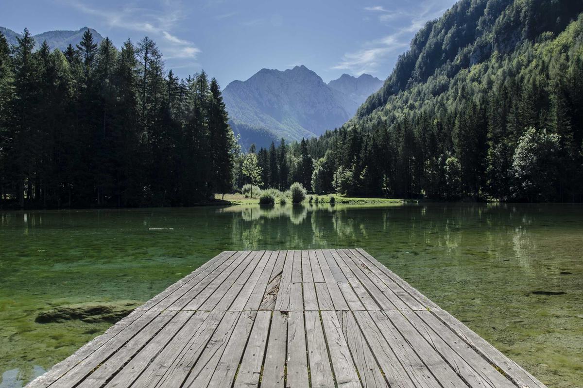
Day 3 — Aksu to Kashgar (≈460 km, 5 h). The final run. Oasis towns thicken, minarets appear, and the Pamir foothills haze the southern horizon. You arrive in Kashgar in the late afternoon, just in time for the Old City to catch the last gold.
Fuel, tolls, and the practical bones
China’s expressways are excellent and well-signed in Mandarin and often Latin script. A few things to know before you set the GPS:
- Fuel: gas stations are frequent on the G30/G3012 corridor — every major town has a 中石油 (PetroChina) or 中石化 (Sinopec). Pay by card, Alipay, or WeChat; carry some cash for the most remote stops. See our fuel and payment guide for the details foreigners actually need.
- Tolls: budget roughly ¥0.4–0.5 per km on expressway. The full Urumqi–Kashgar run costs around ¥600–700 in tolls one-way.
- Speed limits: 100–120 km/h on open expressway, dropping to 80 or lower near towns and construction. Fixed and mobile cameras are common — our tolls and speed-limit guide breaks down the rules.
- Checkpoints: expect routine police checkpoints on the southern corridor. Have your passport and (if driving) temporary permit ready. They are quick and professional. Read the border pass and checkpoint guide so nothing surprises you.
The Taklamakan option
If you have an extra day and a sense of adventure, the desert highways (G3012 plus the cross-desert G217) let you actually cross the Taklamakan, the largest shifting-sand desert on earth. It is hypnotic and a little humbling — 200 km of nothing but the road, the rail, and the wind. Our Taklamakan guide covers the crossing logistics. Do not attempt it in a vehicle you don’t trust, and never leave the pavement.
When to make this drive
Timing is everything in Xinjiang. The best window is June through October. Spring brings dust storms; winter brings ice on the northern passes and occasional closures. Summer is hot but glorious in the mountains, and autumn paints the poplars gold along the whole corridor — the single most beautiful season for this route.
Where to sleep
The corridor is lined with clean, cheap, and surprisingly good hotels — Vienna, Hanting, and local equivalents in every city. In Kashgar, stay inside or next to the Old City if you can; the early-morning call and the smell of fresh naan are worth it. Book ahead in July–August and the National Day week in October, when domestic tourism peaks.
What you’ll eat on the way
This drive is a slow education in Uyghur food. In Turpan, grapes and cantaloupe you’ll never forget. In Korla, pears. In Aksu, the best apples in China. And everywhere, laghman noodles, samsa (baked meat pies), polo (rice with carrot and lamb), and skewers charred over coals. Our Xinjiang food guide maps the dishes worth stopping for.
A note on driving it yourself
Foreign visitors cannot simply rent a car and go — China requires a translated license plus a temporary driving permit, obtainable in Urumqi or major border cities. Many travelers instead hire a car with a local driver, which turns the long hauls into naps and photo stops. Either way, our car rental guide and license guide for foreigners cover what you need before the key is in your hand.
The feeling of arriving
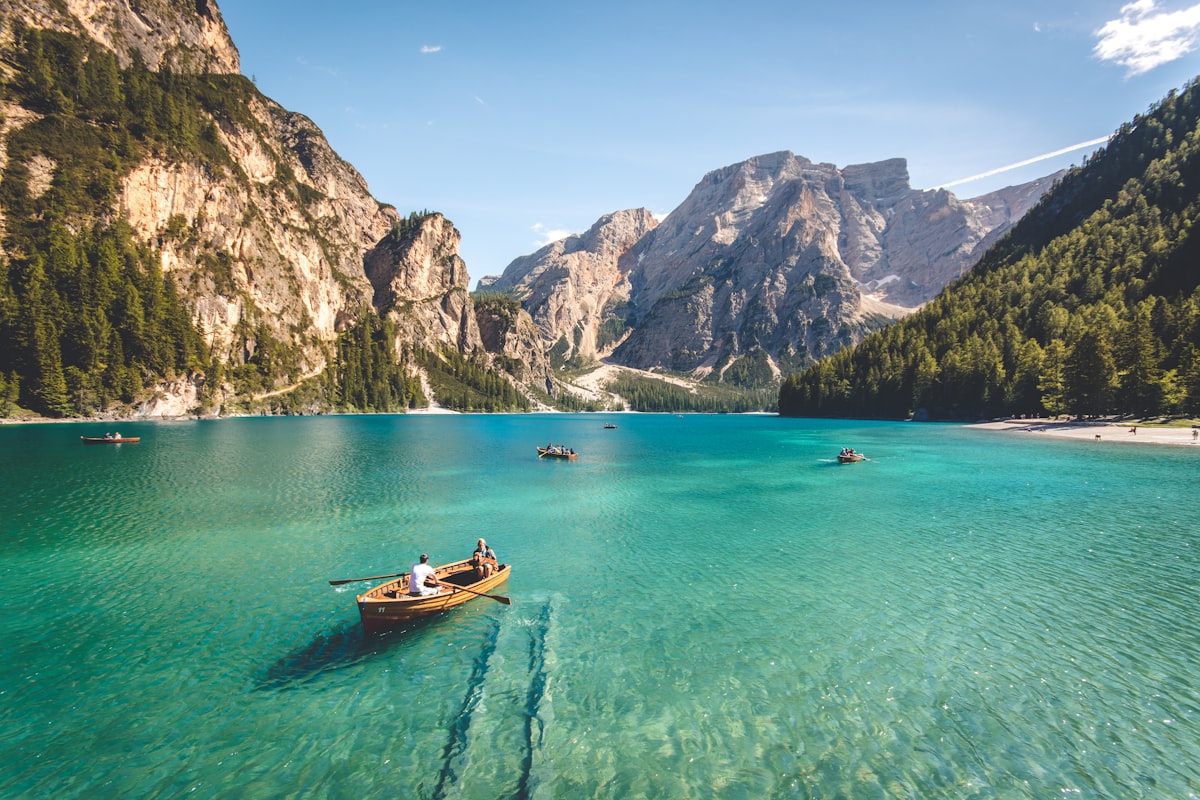
Kashgar comes up slowly — first the new city’s grids, then the sudden, tangled beauty of the Old City, then the Pamirs rising blue behind it all. You will have driven across an entire world to get here, and the city knows it. Sit at a teahouse on the roof, order a pot of milk tea, and watch the light leave the mountains. That, more than any checkpoint or kilometer marker, is what the Urumqi–Kashgar drive is for.
FAQ
How long does Urumqi to Kashgar take by car? Two long days minimum, three comfortably, four to six if you add the Duku or desert crossings.
Is the G30 safe to drive at night? It is well lit and patrolled, but wildlife and long-haul trucks make daytime driving calmer. I’d stop by dusk.
Do I need a 4×4? No. The expressways are fully paved. An SUV helps with comfort on the longer legs.
Can I cross into Pakistan from Kashgar? Theoretically via the Khunjerab Pass, but it requires specific permits and a valid Pak-China route plan. Read our Khunjerab Pass guide before counting on it.
Final word
The flight gets you there. The drive gets you to Kashgar — through the desert, past the poplars, into the mountains. Do it once and you’ll understand why the Silk Road was never just a trade route, but a way of seeing the world.
Written by Karl Huang, a Xinjiang-based travel writer. Routes and permit rules change — verify the latest with local authorities before you depart.