

The drive from Urumqi to Kashgar is the journey most people picture when they say “Xinjiang road trip.” You start in the north, drop through the Turpan depression — the hottest, lowest point in China — then roll across the Tarim Basin along the northern edge of the Taklamakan, the second-largest shift-sand desert on earth. I have done this run northbound and southbound, and the southbound direction (Urumqi → Kashgar) is the one I recommend: you end in Kashgar, the most atmospheric city in the region, instead of starting there tired.
Total distance is about 1,450–1,550 km depending on whether you take the faster G30/G3012 expressway or detour through the oasis towns. Plan four to five days to do it without hating your seat.
The route
Urumqi → Turpan (~190 km) → Korla (~380 km from Turpan) → Kuqa (~280 km) → Aksu (~260 km) → Kashgar (~460 km).
This is the spine of the southern Xinjiang Tarim loop; below is the straight north-to-south version.
Day-by-day
Day 1 — Urumqi to Turpan (~190 km, 2.5 hrs). An easy warm-up. Turpan sits at about 150 m below sea level and bakes at 40°C+ in July. See the Turpan Flaming Mountains guide for the red-rock stops, plus the Grape Valley and the Jiaohe ruins. Overnight Turpan.
Day 2 — Turpan to Korla (~380 km, 4.5 hrs). South past the wind farms of the Turpan–Korla corridor. Korla is a modern city and a good fuel-and-rest stop. Overnight Korla.
Day 3 — Korla to Kuqa (~280 km, 3.5 hrs). Kuqa (formerly Qiuci) is the cultural heart of the southern Silk Road. The Kuqa Grand Canyon (Tianshan Grand Canyon) and the Kizil Thousand-Buddha Caves are the highlights. Overnight Kuqa.
Day 4 — Kuqa to Aksu (~260 km, 3 hrs). Flat desert highway. Aksu is a pleasant oasis town; stock water here. Overnight Aksu.
Day 5 — Aksu to Kashgar (~460 km, 5–6 hrs). The final, long desert push. You arrive in Kashgar with the Kashgar old town guide waiting. Overnight Kashgar.
The Taklamakan option
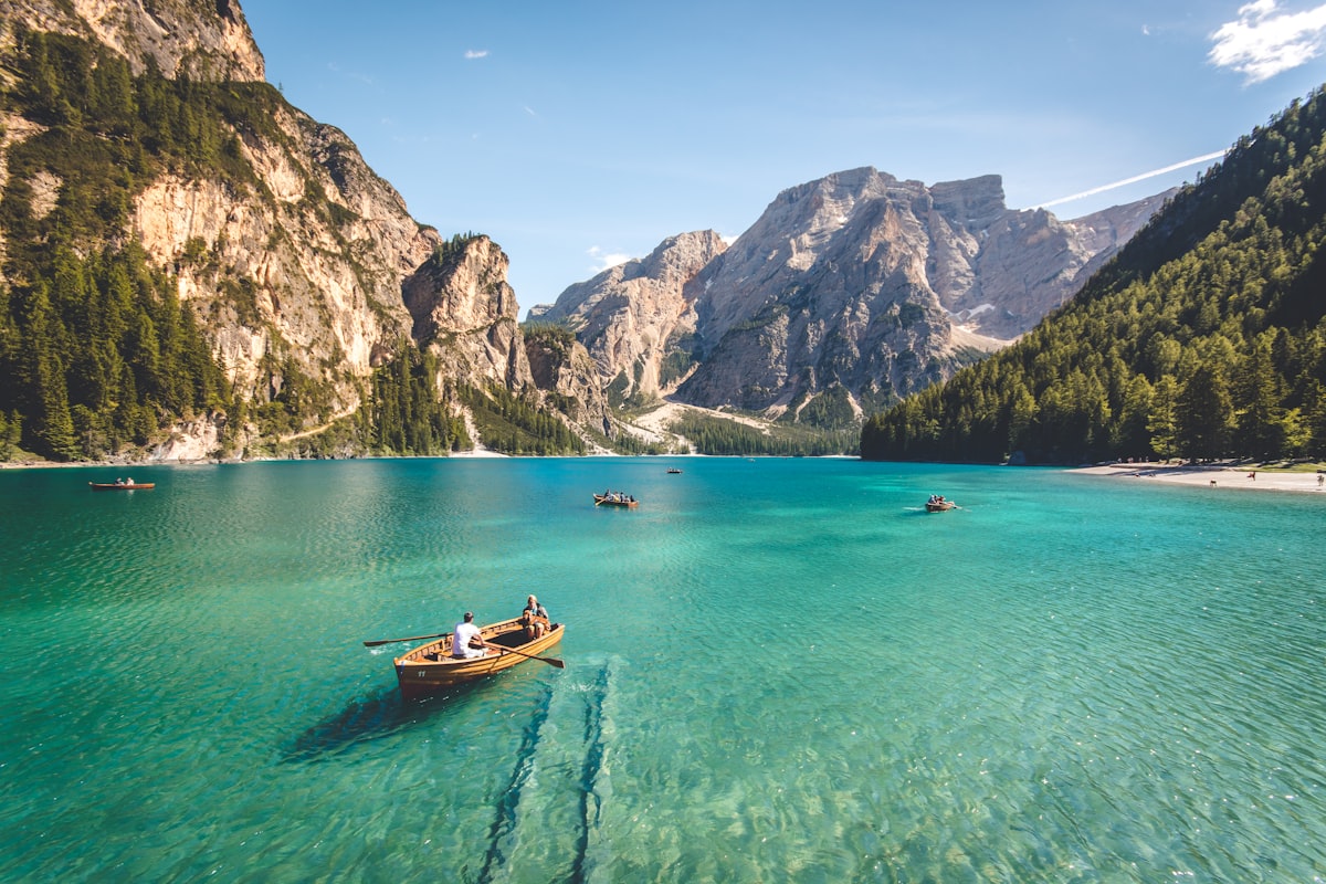
If you have an extra day and want the once-in-a-lifetime crossing, leave the G3012 at Alar and take the Tarim Desert Highway south to Hotan (~420 km of pure sand-control shelterbelt), then west to Kashgar. It adds a full day but delivers the “Sea of Death” experience no expressway can. I did it once in October; the silence at the halfway marker is unforgettable. Carry extra water and a full tank — the desert highway has fuel but spacing widens.
The climate you drive through
This route is a vertical and thermal extreme in one line. Turpan is the furnace: summer highs of 40–45°C, and the ground around the Flaming Mountains can read 70°C. From there the road climbs gently onto the Tarim Basin floor (~1,000 m), where Korla, Kuqa and Aksu run a dry 30–38°C in summer and a crisp -5 to 5°C in winter. Kashgar, at the basin’s western rim (~1,300 m), is milder than the desert middle — summer nights fall to 18–22°C, which is why the old town is so livable. Plan clothing for a 40°C swing between Turpan noon and a Kashgar evening, and never underestimate how fast the desert drinks your water.
Checkpoints and documents
Expect three to five police checks on the southbound run, concentrated on the Aksu–Kashgar highway and again if you continue toward the Pamir. They are polite and quick: window down, passport or ID ready, rental papers in the sleeve. Dashcams should be off if requested, and checkpoints and military sites are strictly off-limits to photography. Foreign travelers pass through routinely; the checks are about border-zone control, not harassment. Build a ten-minute buffer into each driving day for the stops, and keep your border permit (if continuing to Tashkurgan) already in hand.
Fuel, checkpoints, and reality
- Fuel spacing: On the G3012, stations appear every 40–80 km. Still, the desert half-tank rule is non-negotiable in summer; heat and distance turn a empty-tank mistake into a real problem.
- Checkpoints: Expect several police checks between Aksu and Kashgar. Have passport/ID and rental papers ready; windows down, polite, patient. They are routine, not hostile.
- Speed: The expressway is smooth but camera-controlled. The 120 km/h limit is enforced; don’t treat the empty road as an invitation.
- Livestock: Camels, sheep, and the occasional donkey cart cross in the oasis sections, especially near dusk. Slow down.
Why Kashgar is the reward
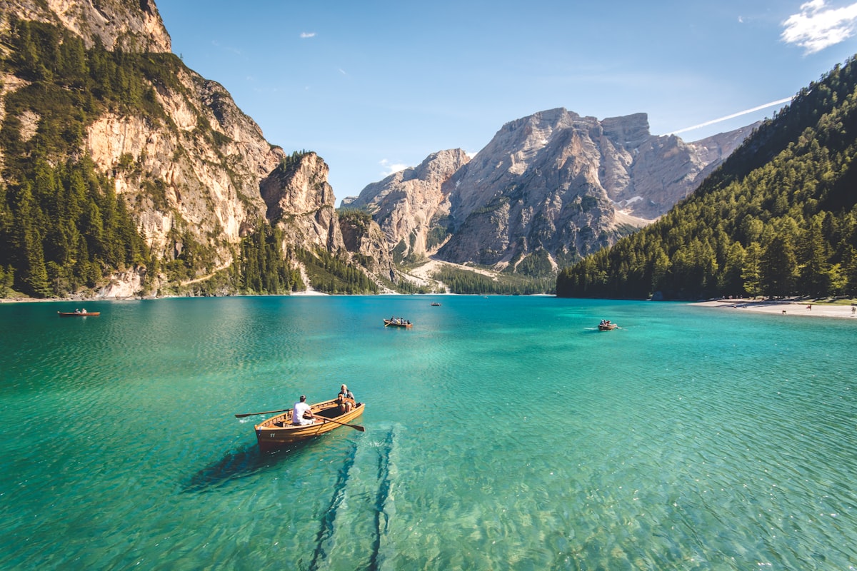
After days of desert, Kashgar hits differently. The old town’s mud-brick lanes, the Sunday livestock market, the Id Kah Mosque — it is the closest thing to the historical Silk Road you will touch on this trip. From here you can turn south toward the Pamir on the Karakoram Highway, but that is a different journey and needs a border permit.
Costs
- Distance/fuel: ~1,500 km; a petrol SUV burns roughly ¥1,000–1,300 in fuel.
- Tolls: the G30/G3012 expressway tolls run about ¥500–650 for the full run.
- Hotels: ¥200–500/night; Kashgar old-town guesthouses book out in July–August.
- Food: cheap and excellent — a plate of laghman or a kebab dinner rarely tops ¥50.
Road quality and what the car feels
The whole Urumqi–Kashgar run is paved and well maintained. The G30 from Urumqi to Turpan and the G3012 across the Tarim are divided, multi-lane expressways — the kind of road where the km tick by fast and the camera is the only thing keeping you honest. The Turpan–Korla corridor has long straight shots through the wind-farm zone, and the Korla–Kashgar leg is dead-flat desert highway with wide shoulders. No switchbacks, no passes, no dirt. A sedan is genuinely fine here; I would only bother with an SUV if the Pamir or Duku were next on the plan. The one physical note: the desert expands and contracts with heat, so watch for slight road-buckling and the occasional section under repair, signed down to 60 km/h.
Timing the desert legs
The trick to this route is not speed but scheduling. I start each desert day by 8 a.m. to beat the noon heat and the worst glare, and I treat Aksu (Day 4) and Korla (Day 2) as non-negotiable fuel-and-water anchors. The longest single leg, Aksu to Kashgar (~460 km, 5–6 hrs), is best split mentally into two halves at the Uchturpan/Maralbexi services rather than driven as one grim push. If you take the Taklamakan crossing via Hotan, add a full day and accept that the ~420 km desert highway has fuel but wide station spacing — never leave Alar below three-quarters of a tank.
Connectivity and the oasis towns
Signal holds on the expressway and in every oasis town (Turpan, Korla, Kuqa, Aksu, Kashgar), so live navigation works most of the way. It thins only in the open Taklamakan middle between services. I still download offline maps before leaving Urumqi and grab a China Mobile data SIM on day one — it has the broadest Xinjiang coverage and bails you out at a closed pump or a full guesthouse. Cash (¥200–300 small bills) covers roadside stalls and the occasional card-less fuel stop near the oasis edges.
Night driving on this route
I avoid driving the Turpan–Kashgar desert legs after dark. Livestock and the occasional donkey cart cross near the oasis village zones, unlit; and a breakdown at midnight on the G3012 means a long, cold wait. The expressway is well lit near towns but black between them. If a flight forces a late start, I stop at the next oasis (Aksu or Kuqa) rather than push through — a hotel room beats a highway shoulder at 2 a.m.
FAQ
How far is Urumqi to Kashgar exactly? About 1,450 km on the expressway route, closer to 1,550 km if you detour through the oasis towns. Budget 5 full days to enjoy it.
Is the drive safe? Yes. The roads are excellent and the region is safe for travelers; the main risks are heat, fatigue, and running low on fuel in the desert, not personal security.
Do I need a border permit? Not for Urumqi–Kashgar itself. You only need the 边防证 if you continue from Kashgar to Tashkurgan and the Pamir.
Can I do it in 3 days? You can, but it becomes two 8-hour days and a blur. Four to five days lets you actually see Turpan, Kuqa, and Kashgar instead of just sleeping in them.
Sedan or SUV? A sedan handles this paved route fine. Save the SUV budget for the Pamir or the Duku.
When is the best time? April–June and September–October are ideal — Turpan is survivable and the desert is bearable. July–August is brutally hot; Kashgar itself is fine, but midday desert driving is unpleasant.
Final word
Urumqi to Kashgar is the artery that ties Xinjiang together, and driving it end to end gives you the whole story in one line: fire, oasis, sand, and the old town at the end. Take your time and let the basin flatten you out.
Written by Karl Huang, a Xinjiang-based travel writer. Checkpoint locations, expressway tolls, and the Taklamakan fuel situation shift — confirm current road conditions with local authorities before you set off.