

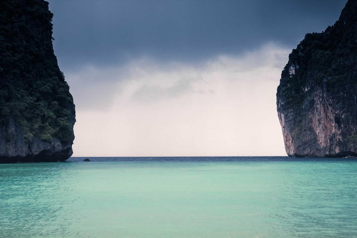
Four days is enough to leave the Kashgar lanes behind, climb onto the roof of the world, and return with the Karakoram burned into memory.
A four-day Kashgar to Pamir loop is the classic short expedition of southern Xinjiang: start in the maze of Kashgar Old Town, roll out along the Karakoram Highway beside the Pamir, sleep high in Tashkurgan, and trace the blue lakes back. The route is about 300 kilometers each way on the G314, but the altitude, permit rules, and weather make it a real expedition rather than a casual outing. This guide lays out the day-by-day plan, the permit you need, the drive notes, and the practical calls that keep the loop smooth instead of stranded.
Why this loop works
The Karakoram Highway, often called the KKH, is one of the great mountain roads on earth, running from Kashgar southwest toward the Pakistani frontier through a landscape of bare ranges, glacial rivers, and high plateaus. Four days lets you reach the Pamir, spend a night at altitude, and return without brutal marathon drives. The road is paved and in decent shape, but it gains steadily toward 4,000 meters, so the plan builds in acclimatization by sleeping lower on the first night. It is best from May to early October; snow can close the high sections outside that window. Pair this loop with a few days in Kashgar itself to make the most of the region.
- About 300 km each way on the G314
- Gains toward 4,000 meters of altitude
- Best May to early October
- Build in acclimatization on night one
Day 1: Kashgar Old Town to the foothills
Spend the morning in Kashgar Old Town, the living maze of mud-brick lanes, mosques, and bazaars that is the cultural heart of the south. Stock water, snacks, and a full fuel tank, since services thin out past the suburbs. Roll out on the G314 in the early afternoon and make the first overnight at a foothill town or a lakeside guesthouse rather than pushing to Tashkurgan. This keeps the first sleep around 2,000 meters and eases the climb. The drive itself is gentle, with the mountains growing taller as the farmland gives way to the stony Pamir. Arrive before dark, because the high road has little lighting and wildlife on the verge.
- Morning in Kashgar Old Town
- Fuel and water before leaving
- First night at a foothill or lakeside stop
- Arrive before dark on the unlit road
Day 2: Karakoram Highway to Tashkurgan
Today is the headline drive. The G314 climbs past Oytagh, then the pale crescent of White Sand Lake, and on to Karakul Lake, a glacial sheet of water pinned beneath Muztagh Ata, the father of ice mountains. Stop for photos but watch the wind, which is fierce and cold even in summer. Continue to Tashkurgan, the Tajik county seat near the triple border, and sleep there around 3,100 meters. The town is the permit checkpoint and the last real town before the frontier. Eat early, hydrate, and rest, because altitude makes a normal night feel short. Tomorrow is shorter, so a relaxed arrival pays off.
- Past Oytagh to White Sand Lake
- Karakul Lake beneath Muztagh Ata
- Sleep in Tashkurgan near 3,100 m
- Hydrate and rest for altitude
Day 3: Pamir Plateau and back to the lakes
Use the morning in and around Tashkurgan, visiting the stone fort and the nearby grasslands where Tajik herders keep sheep and yaks. If permits and weather allow, a run toward the Khunjerab approach shows the raw high borderland, though you cannot cross without the right paperwork. By midday start the return, pausing again at Karakul or a lower lake for the golden-hour light that turns the peaks pink. Sleep lower than Tashkurgan to aid recovery from the altitude. The return leg is the same road, but the changing light makes it feel new, and you now know the pull-offs worth the stop.
- Tashkurgan fort and herder grasslands
- Optional run toward Khunjerab approach
- Return pause at Karakul for golden hour
- Sleep lower to recover from altitude
Day 4: back to Kashgar
The final drive back to Kashgar is a chance to linger at the spots you rushed, or to add a short detour to a village market. Reach the city by afternoon with time to return the car, do laundry, and enjoy a proper Uyghur dinner in the old town you saw on day one. Four days feels short against the scale of the Pamir, but it is a complete, safe taste that leaves the longer loops for next time. Check the car for altitude dust and a low tire before the rental return, and keep your permit paperwork until you are clear of the border zone.
- Linger at rushed spots on the return
- Reach Kashgar by afternoon
- Return the car and enjoy old-town dinner
- Check tires and keep permit papers
Permits and practical calls
Travelers heading to Tashkurgan need a border permit, issued for the frontier zone, so arrange it in Kashgar before departure with your passport. Foreign drivers also need the correct license and any checkpoint clearances; do not assume the rental alone is enough at the high police posts. Carry cash, because card readers fail in the mountains, and fuel is scarce past the foothills. Snow can close the road outside the May to October window, so confirm conditions the day before. With the paperwork and a full tank, the loop is straightforward; without them it stops at a checkpoint.
- Border permit from Kashgar before leaving
- Carry license and checkpoint clearances
- Bring cash and a full fuel tank
- Confirm snow closure outside May to October
| Day | Drive | Overnight | Key stop |
|---|---|---|---|
| 1 | Kashgar to foothills, ~150 km | Foothill or lakeside | Kashgar Old Town |
| 2 | Foothills to Tashkurgan, ~150 km | Tashkurgan ~3,100 m | Karakul Lake, Muztagh Ata |
| 3 | Pamir loop and return, ~200 km | Lower lake | Tashkurgan fort |
| 4 | Return to Kashgar, ~300 km | Kashgar | Village markets |
Practical takeaways
- Get the Tashkurgan border permit in Kashgar before you leave.
- Leave with a full fuel tank and cash; services thin out fast.
- Sleep lower on night one to ease the altitude climb.
- Run the loop only May to early October to avoid snow closures.
Frequently Asked Questions
- Do I need a permit for the Kashgar Pamir loop?
- Yes, a border permit is required to enter the Tashkurgan frontier zone, arranged in Kashgar with your passport. Foreign drivers also need the correct license and any checkpoint clearances for the high posts.
- What is the best season for this loop?
- May to early October is best, when the high road is snow-free and the lakes are accessible. Outside that window, passes can close and altitude weather turns dangerous.
- How high does the drive go?
- The route climbs toward 4,000 meters, with Tashkurgan around 3,100 meters. The plan sleeps lower on night one to aid acclimatization, and you should hydrate and rest at altitude.
- Is the Karakoram Highway paved and safe?
- It is paved and generally in good shape, but remote, windy, and high. Fuel and services thin out past the foothills, so leave Kashgar with a full tank, cash, and a weather check.