

A southern Xinjiang road trip is a different country from the green north. The Tarim Basin is oasis-and-desert country — ancient Silk Road towns, the world’s largest inland desert, and the cultural heart of Uyghur Xinjiang centered on Kashgar. This loop strings it together.
The Loop at a Glance (8–12 Days)
- Kashgar: Base camp, permit office, and the best bazaar in the region.
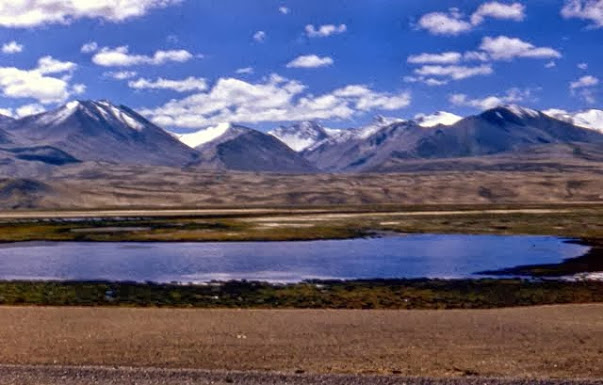
- Kashgar → Karakul Lake (Pamir): Covered in the Karakoram Highway guide.
- Kashgar → Yarkand → Hotan: Oasis towns along the southern rim.
- Hotan → Taklamakan crossing → Luntai/Aksu: The Taklamakan Desert Highway segment.
- Aksu → Kuqa → back toward Urumqi or north to link a northern loop.
Culture & Stops
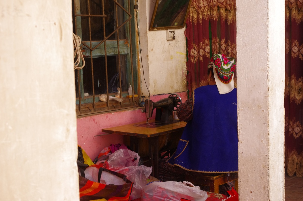
Southern Xinjiang is where Xinjiang’s Silk Road soul is most visible: Kashgar’s Id Kah Mosque and Sunday livestock market, Yarkand’s tombs, and Hotan’s jade and carpet workshops. Budget time to simply walk — the food alone (nan, polo, kebabs) is worth the detour.
Driving Realities
- Long, straight desert highway miles — fatigue is the main risk. Swap drivers.
- Fuel and lodging cluster in oases; plan gaps carefully.
- Border zones near Kashgar/Pamir need permits — see the checkpoint guide.
Best Time
April–May and September–October avoid summer furnace heat (often 40°C+ in the basin). Spring brings blossom; autumn brings harvest markets.
FAQ
Is southern Xinjiang safe for foreign self-drivers?
Yes, with normal precautions and valid permits for border areas. Register at checkpoints as required.
Can I combine north and south in one trip?
Absolutely — many drivers do a full perimeter. Allow 3+ weeks for the whole circuit without rushing.
What vehicle?
A reliable SUV with good range. Desert segments are paved but remote.