

Some roads are transport; a few are legends. The China–Pakistan Friendship Highway — the Karakoram Highway, or KKH — is the latter. Climbing from the plains of Pakistan to the Pamir plateau and over the Khunjerab Pass into Xinjiang, it is one of the highest paved international roads on earth and a genuine wonder of 20th-century engineering. For a self-driver in Xinjiang, the KKH is the road you follow south from Kashgar toward the roof of the world.
This is the “deep” companion to our Karakoram Highway self-drive guide — the story and the engineering behind the tarmac.
What the KKH is
The Karakoram Highway connects Kashgar in Xinjiang with Islamabad (via Gilgit and Abbottabad) in Pakistan, crossing the Khunjerab Pass at ~4,700 m. On the Chinese side it is designated G314. Built jointly by China and Pakistan between the 1960s and 1980s, it opened to traffic in 1979 (formally 1986). It remains the primary overland link between the two countries and a profound feat given the terrain.
The engineering story
The numbers tell part of it:
- Length: roughly 1,300 km end to end.
- Highest point: the Khunjerab Pass at ~4,700 m.
- Terrain: the road crosses the Karakoram — home to several of the world’s tallest peaks outside the Himalayas — through deep gorges, avalanche zones, and perpetual rockfall country.
- Cost: it is often said to have cost the lives of hundreds of workers, a stark reminder of what “building a road here” meant before modern equipment.
Much of the route is blasted into cliff faces above roaring rivers. Even today, sections wash out in monsoon and landslide season and require constant maintenance. Driving it, you feel the effort in every retained wall and every cleared slide.
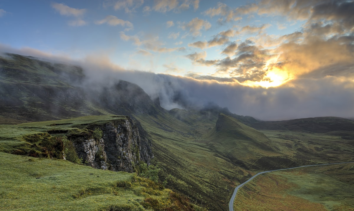
The drive from the Xinjiang side
From Kashgar, the G314 (KKH) runs south and west, climbing onto the Pamir. Our Kashgar to Pamir Karakul drive covers the first leg; our Khunjerab Pass drive guide covers the top. Key points along the way:
- Oytagh and the red/white mountain: the landscape shifts from oasis to high desert.
- Baisha Lake: the white-sand lake beneath the mountains (see our Baisha Lake guide).
- Karakul Lake: the reflection lake beneath Muztagh Ata (see our Karakul Lake guide).
- Tashkurgan: the Tajik border town — our Tashkurgan Pamir deep guide explains the permit and culture.
- Khunjerab Pass: the border itself, if open to through traffic.
How far can a self-driver go?
From the Chinese side, you can drive the G314 to Tashkurgan and (when cross-border traffic permits) toward the Khunjerab Pass. You cannot simply continue into Pakistan without full cross-border formalities — visa, vehicle customs, insurance — covered in our cross-border self-drive guide. For most travelers, the KKH experience is the climb to the Pamir and back, which is more than enough.

Practical notes
- Permit: Tashkurgan county requires the border-defense permit — get it in Kashgar.
- Altitude: the pass is extreme; acclimatize in Tashkurgan (~3,100 m) before pushing higher.
- Fuel: fill in Kashgar; limited and queued near the top.
- Season: June–September for open, passable conditions; the pass can close for snow.
- Checkpoints: frequent ID/passport checks; carry documents always.
- Roadworks: expect occasional delays for maintenance and slides — build buffer time.
FAQ
Can I drive the KKH from China into Pakistan? Only with full cross-border formalities (visa, customs, insurance). See our cross-border guide.
What’s the highest point? The Khunjerab Pass at ~4,700 m.
Do I need a permit? Yes for Tashkurgan county; routine checks throughout.
When is it open? Generally June–September; snow can close the pass.
Is it safe to drive? Yes for experienced mountain drivers who respect altitude, weather, and checkpoints.
Final word
The Karakoram Highway is more than a road — it’s a statement that connection is possible even at the roof of the world. Drive it from Kashgar to the Pamir and you’ll understand why it’s legendary. Just respect the altitude, the permit, and the mountains.
Written by Karl Huang, a Xinjiang-based travel writer. Cross-border and seasonal conditions change — confirm with authorities before you travel.