Xinjiang Road Trip Packing Checklist (2026)
The complete Xinjiang road trip packing list: documents, driving gear, clothing for extreme temperature swings, altitude meds, photography kit and seasonal extras.


The complete Xinjiang road trip packing list: documents, driving gear, clothing for extreme temperature swings, altitude meds, photography kit and seasonal extras.
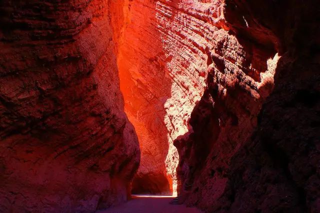
How to manage fuel on long Xinjiang drives: station spacing on the Duku and Taklamakan, payment apps, diesel vs petrol, and the rule to never let the tank drop below half.

Camping and RV travel in Xinjiang: where you can camp, the dark-sky stargazing spots, RV rental realities, water/toilet limits and the rules around wild camping in scenic areas.
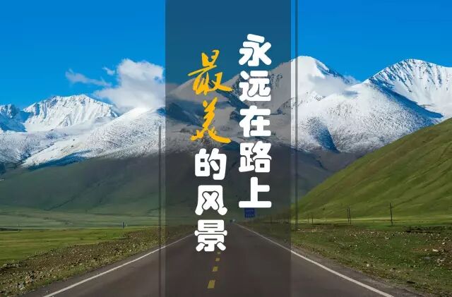
The definitive 15-day Xinjiang road trip: northern grasslands, the Duku Highway, Kashgar, the Karakoram Highway and the Taklamakan edge. A slow, complete loop with overnight towns.
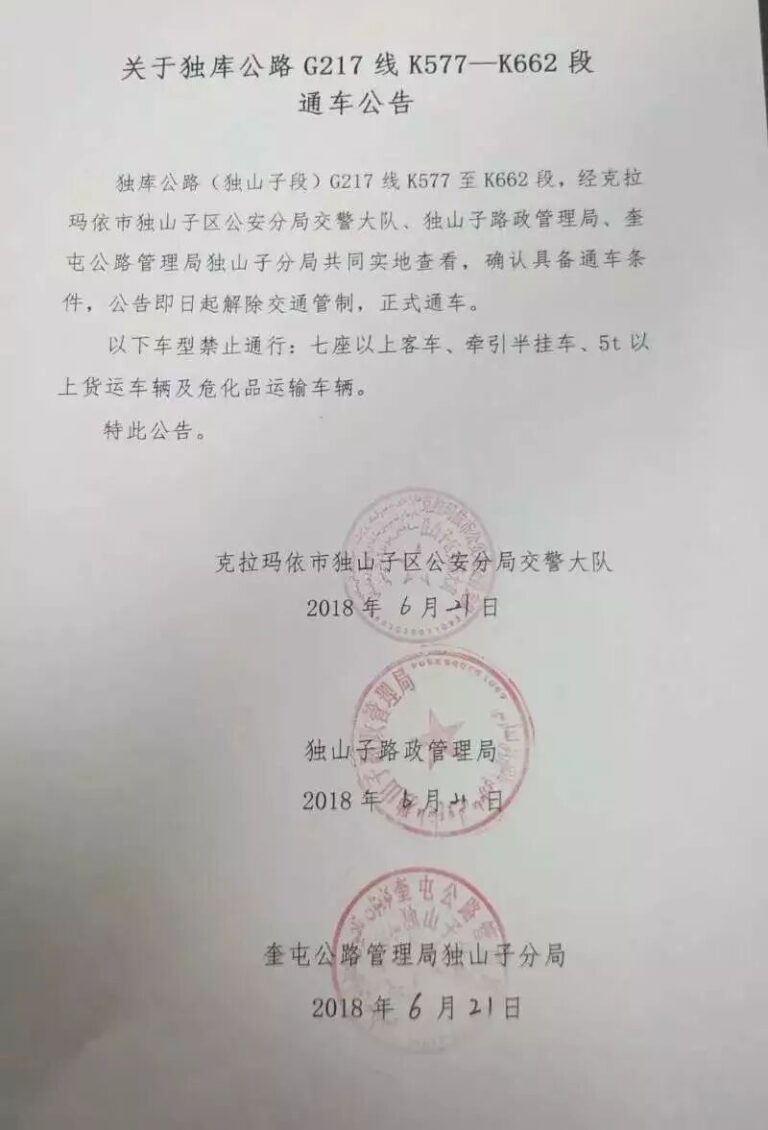
A practical 10-day Xinjiang road trip itinerary covering Urumqi, the Duku Highway, Kanas, Sayram Lake and Turpan. Distances, overnight stops and seasonal timing included.
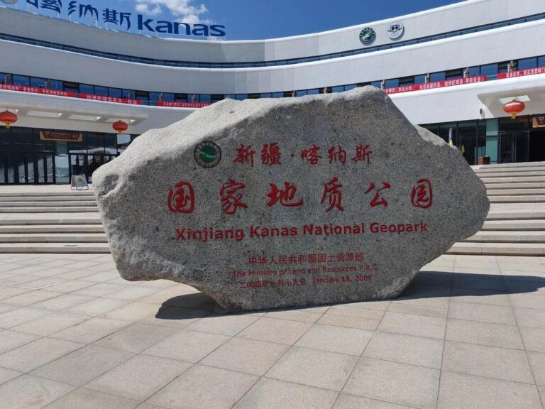
A 7-day northern Xinjiang road trip loop through Urumqi, the Duku Highway, Nalati, Sayram Lake, Yining and Kanas. Tight distances, best season and where to sleep.
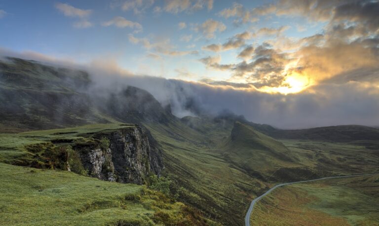
How to get a Xinjiang border pass (边防证) for the Pamir, Karakoram and Khunjerab. Where to apply, what you need, and which regions require it for self-drive travel.
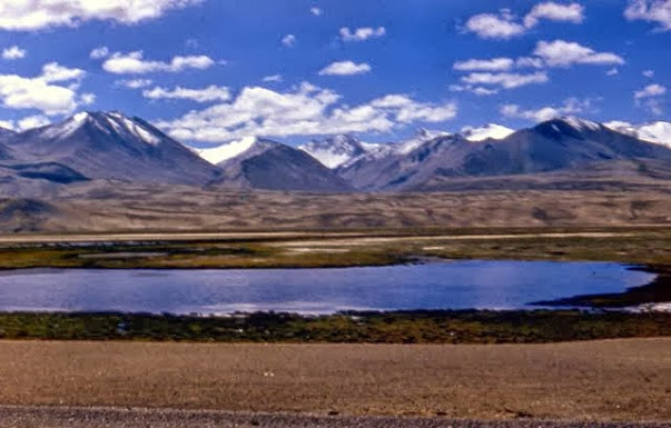
How to handle altitude on Xinjiang road trips: the Pamir Plateau (3,000m+) and high Tianshan passes. Symptoms, prevention, acclimatization and when to descend.
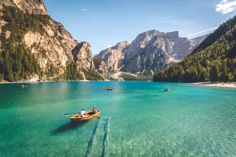
Driving Urumqi to Kashgar is the classic Xinjiang cross-island journey: Turpan, the Tarim Basin and the Taklamakan edge. Route, distances, fuel and overnight stops explained.
The Yizhao Highway (S237) from Yining to Zhaosu is Xinjiang’s other mountain road — shorter and steeper than the Duku, with switchbacks, alpine meadows, and the rapeseed-sea of Zhaosu. Seasons, checkpoints, and driving tips.